You will need to add a LAYER entry into the .MAP file for both Councillors and MPs.
...
| Description | Snippet | Thumb |
|---|
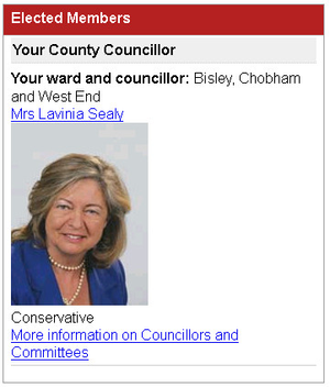
| Councillors | | Code Block |
|---|
LAYER
		NAME "county_councillors"
		STATUS OFF
		TYPE POLYGON
		INCLUDE "datashare.inc"
		DATA "wkb_geometry from (select *, full_html As full_html_raw from moderngov._spatial) as foo using unique ogc_fid using srid=27700"
		TOLERANCEUNITS PIXELS
		CLASS
			NAME ""
			STYLE
				SYMBOL "hatch"
				COLOR 64 0 64
				SIZE 10
				ANGLE 135
			END
			STYLE
				OUTLINECOLOR 0 64 128
				WIDTH 2
			END
		END
END |
|  |
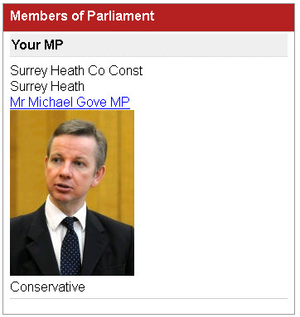
| MPs | | Code Block |
|---|
	LAYER
		NAME "mps"
		STATUS OFF
		TYPE POLYGON
		INCLUDE "datashare.inc"
		DATA "wkb_geometry from (select *, full_html As full_html_raw from moderngov._mps_spatial) as foo using unique ogc_fid using srid=27700"
		TOLERANCEUNITS PIXELS
		CLASS
			NAME ""
			STYLE
				SYMBOL "rectangled"
				COLOR 255 0 128
				SIZE 20
				ANGLE 45
				OPACITY 50
			END
			STYLE
				OUTLINECOLOR 255 0 128
				WIDTH 2
			END
		END
END |
|  |