...
In this exercise we are going to use OS Open Roads dataset as the basis of our layerLayer. This dataset is available from the Ordnance Survey directly or, for ADS customers, available through Astun. In this scenario we have the OS Open Roads roadnode dataset loaded in a local Postgresql PostgreSQL database as 'osdata.ords_roadnode'.
After migrating the roadnode dataset to Postgresql you PostgreSQL you will probably want to delete nodes outside of the area of interest.
...
Now we just need to define our layerLayer. In this case we are using a classic mapserver layer Classic MapServer Layer definition as we may wish to use it My House.
| Code Block | ||
|---|---|---|
| ||
LAYER NAME google_streetview INCLUDE "isharedata.inc" DATA "wkb_geometry from (select *, html as html_raw from osdata.ords_roadnode) as foo using srid=27700 using unique ogc_fid" METADATA "qstring_validation_pattern" "." END STATUS OFF TYPE POINT UNITS METERS CLASS NAME "" STYLE SYMBOL "circle" COLOR 251 251 251 SIZE 10 END STYLE SYMBOL "circle" COLOR 192 192 192 SIZE 9 END END END |
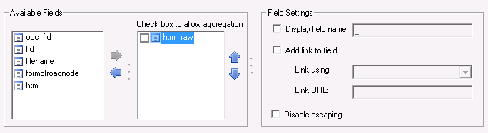
Expose the 'When you define the Layer in Studio you need to expose the html_raw' field as the visible field, turn off the display Display field name option and save Save. E.g.
Here is the result.
