/
Update .MAP file for NHS Choices Classic Layers
Update .MAP file for NHS Choices Classic Layers
- Kim Stimpson
Owned by Kim Stimpson
Last updated: 16 Feb, 2017
For each NHS Choices layer you wish to display you will need to add a LAYER entry into the .MAP file.
You may copy the following Snippets into your .MAP file using the Map Editor in Studio.
NHS Choices
| Description | Snippet | Thumb |
|---|---|---|
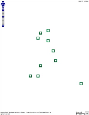
Dentists
| LAYER
NAME nhsdentists
STATUS OFF
TYPE POINT
INCLUDE "datashare.inc"
DATA "wkb_geometry from
(select * from nhschoices.dentists) as foo
using unique ogc_fid using srid=27700"
TOLERANCEUNITS METERS
CLASS
NAME "supplied by nhs choices"
STYLE
SYMBOL "dentists"
END
END
END
|  |
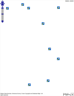
Doctors
| LAYER
NAME nhsdoctors
STATUS OFF
TYPE POINT
INCLUDE "datashare.inc"
DATA "wkb_geometry from
(select * from nhschoices.doctors) as foo
using unique ogc_fid using srid=27700"
TOLERANCEUNITS METERS
CLASS
NAME "supplied by nhs choices"
STYLE
SYMBOL "doctors"
END
END
END
|  |
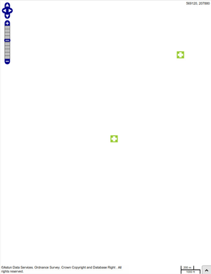
Hospitals
| LAYER
NAME nhshospitals
STATUS OFF
TYPE POINT
INCLUDE "datashare.inc"
DATA "wkb_geometry from
(select * from nhschoices.hospitals) as foo
using unique ogc_fid using srid=27700"
TOLERANCEUNITS METERS
CLASS
NAME "supplied by nhs choices"
STYLE
SYMBOL "hospitals"
END
END
END
|  |
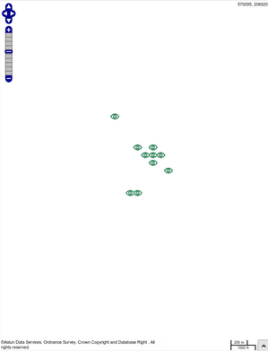
Opticians
| LAYER
NAME nhsopticians
STATUS OFF
TYPE POINT
INCLUDE "datashare.inc"
DATA "wkb_geometry from
(select * from nhschoices.opticians) as foo
using unique ogc_fid using srid=27700"
TOLERANCEUNITS METERS
CLASS
NAME "supplied by nhs choices"
STYLE
SYMBOL "opticians"
END
END
END
|  |
Pharmacies
| LAYER
NAME nhspharmacies
STATUS OFF
TYPE POINT
INCLUDE "datashare.inc"
DATA "wkb_geometry from
(select * from nhschoices.pharmacies) as foo
using unique ogc_fid using srid=27700"
TOLERANCEUNITS METERS
CLASS
NAME "supplied by nhs choices"
STYLE
SYMBOL "pharmacies"
END
END
END
| 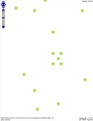 |
, multiple selections available,
Related content
Configure NHS Choices Classic Layers
Configure NHS Choices Classic Layers
More like this
Configure NHS Choices Layers
Configure NHS Choices Layers
More like this
Update .MAP file for EduBase Classic Layers
Update .MAP file for EduBase Classic Layers
More like this
Update .MAP file for Councillor & MP Layers
Update .MAP file for Councillor & MP Layers
More like this
NHS Choices
NHS Choices
More like this
Create Job to Refresh the NHS data
Create Job to Refresh the NHS data
More like this